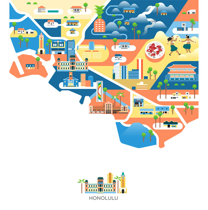
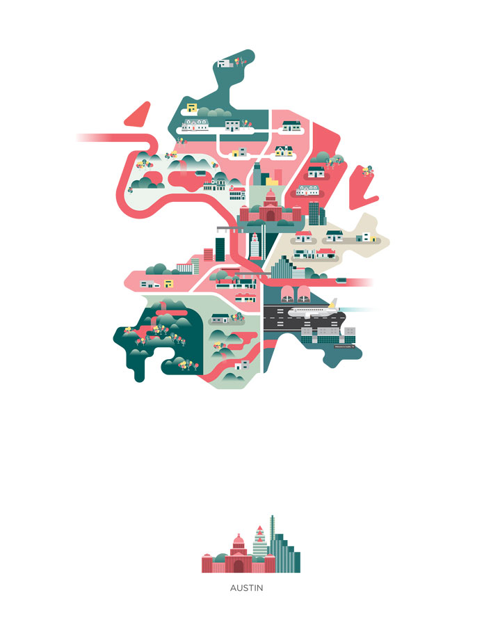
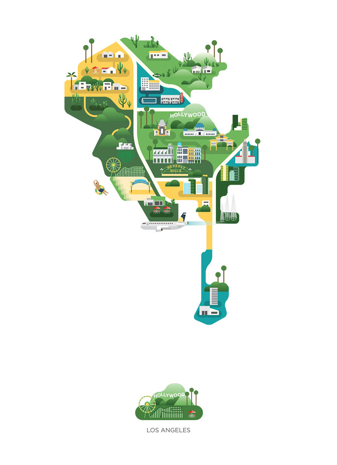
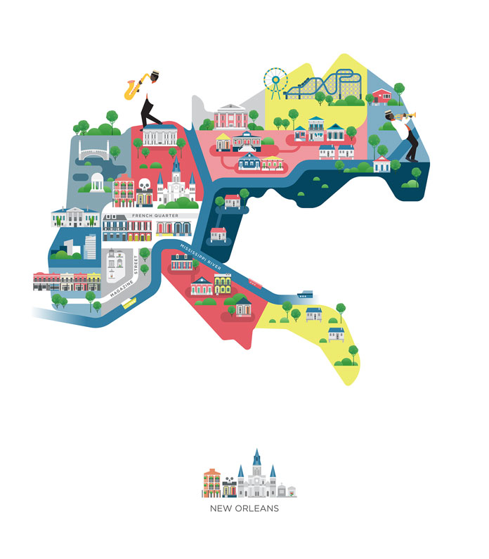
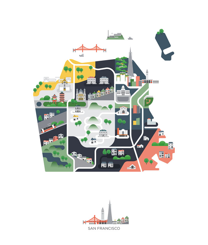
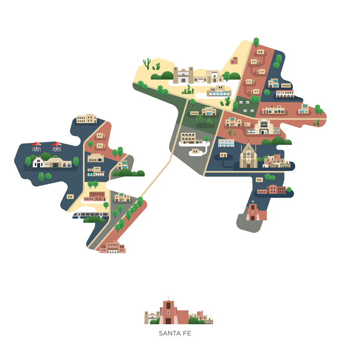
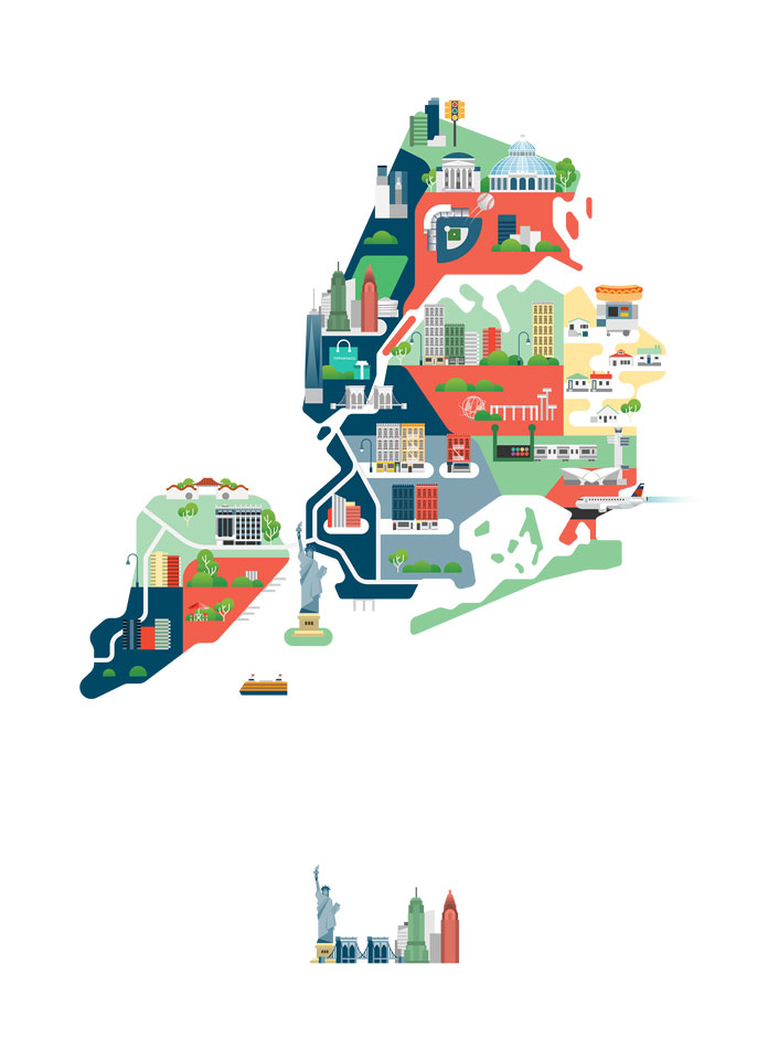
Jing Zhang has created a playful series of map illustrations based on US American cities she has visited.
After her popular series ‘Maps of Asia’, Jing Zhang has recently published a second edition of the map project. In 2016, she was traveling across the US and visited numerous cities such as Honolulu in the very west up to New York City in the very east. Her experiences are now collected in this lovely series of map illustrations. Just have a look below. Our feature of her previous series called ‘Maps of Asia’, can be found here. For those who want to see more of Jing Zhang’s creative illustrations, please do not hesitate to visit her website or check out her images on Behance and Instagram.

Listen beautiful relax classics on our Youtube channel.
All images © by illustrator Jing Zhang. Feel free to find more creative work on WE AND THE COLOR. Our Illustration category includes lots of amazing projects realized by some of the most talented illustrators from around the globe. Whether handmade drawings or modern vector graphics, we show you the best of the best. WE AND THE COLOR is your source for the daily dose of creative inspiration!
The post Cities of America – Map Illustrations by Jing Zhang appeared first on WE AND THE COLOR.
Source: weandthecolor.com
