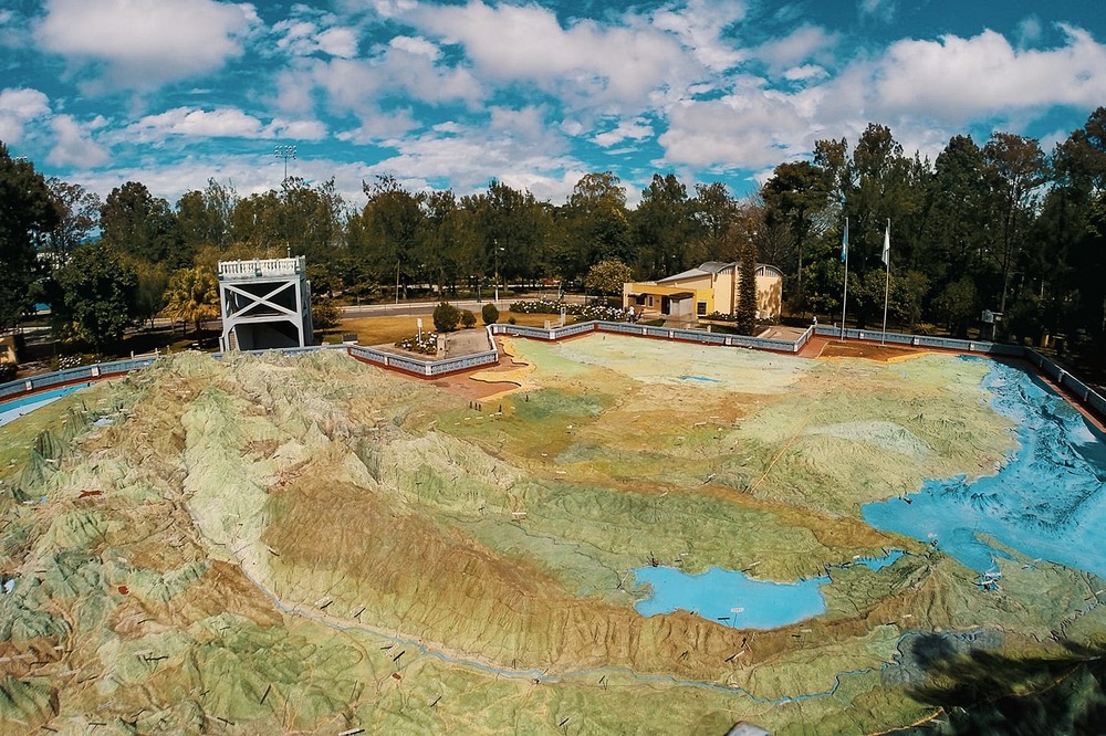
guSandwiched between Mexico on the northwest and El Salvador and Honduras on the east, the country of Guatemala may be small but it has a diverse topography. The northern half of the country is a vast lowland with hot and humid tropical climate, but the southern half is mountainous with snow-capped peaks and deep valleys. This dramatic contrast between the highlands and lowlands can be best appreciated at the center of Guatemala City, on this century-old topographic relief map of the country.
Listen beautiful relax classics on our Youtube channel.
Photo credit: Mapa en Relieve de Guatemala/Facebook
Source: amusingplanet.com
